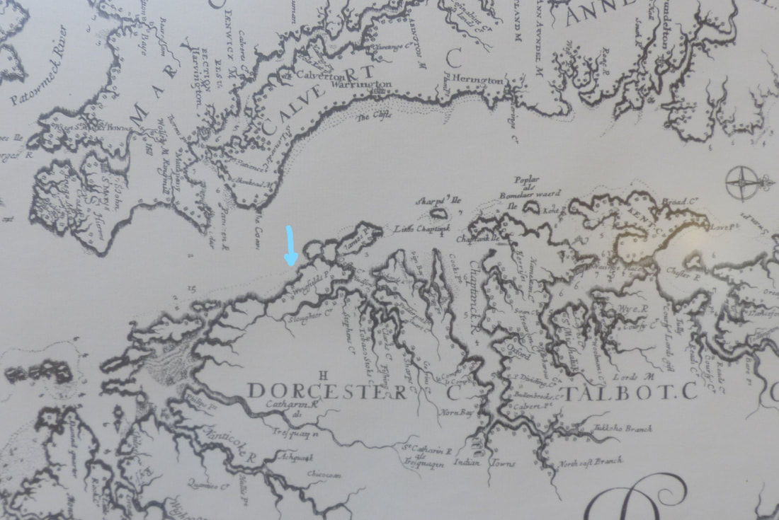
Above is a portion of a map of the Chesapeake from 1670. It appears that Taylors Island had a Wingfields Point or was called Wingfields (see arrow). James Point appears as does "Sloughear" Creek.
The map hangs in the Maryland Room of the Talbot County Library. The map was edited in 1970 by Edward H. Richardson & Assoc. Engineering of Newark, DE. It was photocopied and drafted from originals owned by the Royal British Museum.
The map hangs in the Maryland Room of the Talbot County Library. The map was edited in 1970 by Edward H. Richardson & Assoc. Engineering of Newark, DE. It was photocopied and drafted from originals owned by the Royal British Museum.

